Thanks for spreading the nice!
T
h
a
n
k
s
f
o
r
s
p
r
e
a
d
i
n
g
t
h
e
n
i
c
e
!
Skip to product information
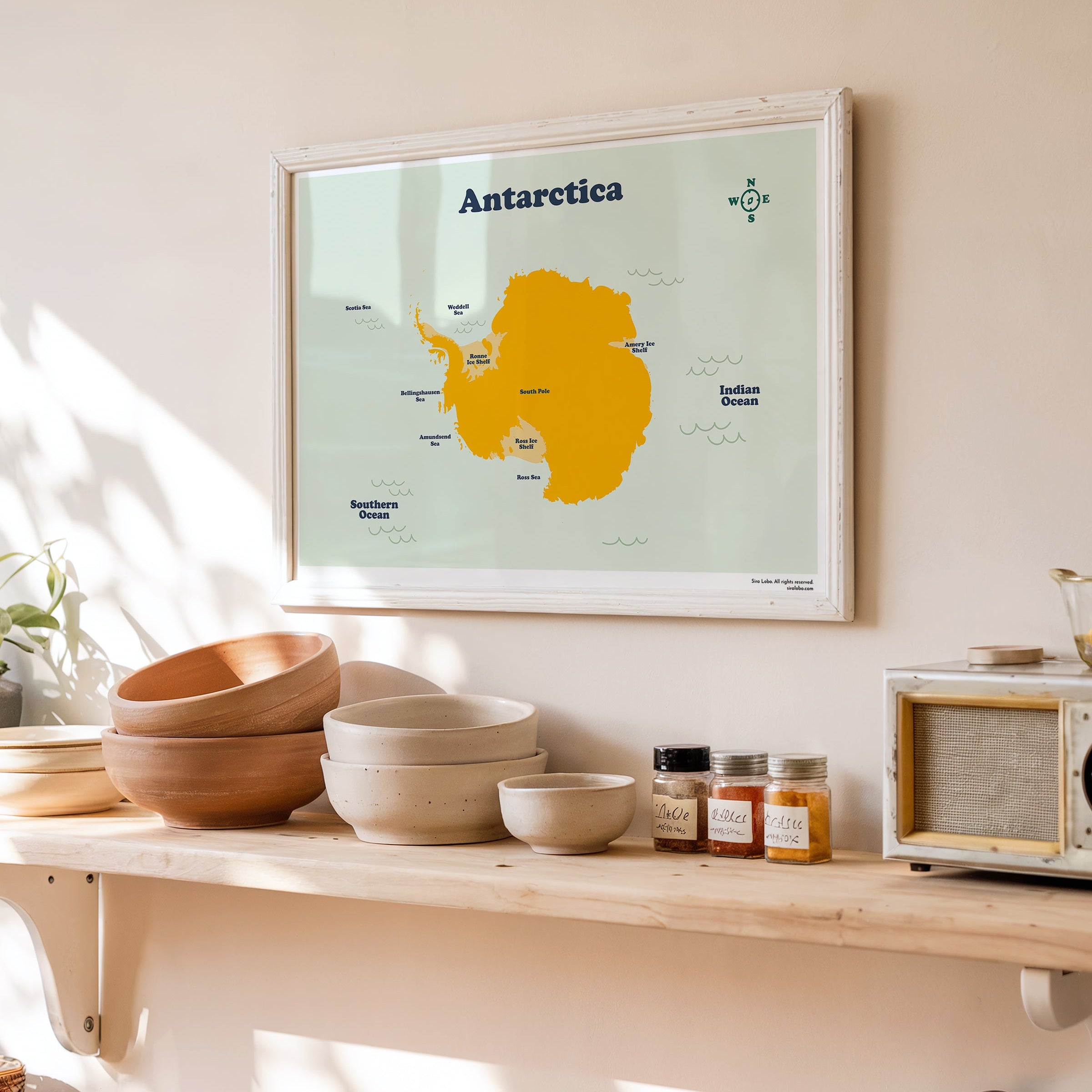

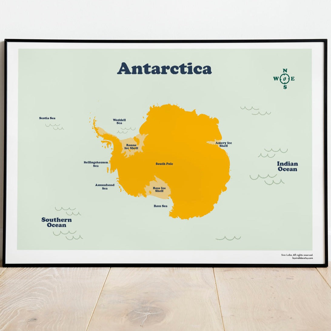
Antarctica Map. Instant Download
€12,90 EUR
Reliable shipping
Flexible returns
Printable Map of the Antarctica continent with all the areas, picks, ranges and the South Pole.
The Download Includes:
5 JPG Files, Ready to Print and Frame
High Resolution Images (300dpi /RGB)
The 5 files are for those ratios:
+ The big standard frame: 50 x 70 cm / 20 x 28 inches
+ International ISO Size for printing up to A1
A5 (15 x 21 cm) | A4 (21 x 29.7cm) | A3 (29.7 x 42 cm) | A2 (42 x 59.4cm)| A1 (59.4 x 84.1cm)
+ 2:3 Ratio Ready to print up to 24 x 36 inches
Inches: 4 x 6 | 6 x 9 | 8 x 12 | 10 x 15 | 12 x 18 | 16 x 24 | 20 x 30 | 24 X 36
Cm: 10 x 15 | 15 x 23 | 21 x 30 | 42 x 38 | 30 x 48 | 40 x 60 | 50 x 75 | 60 x 90
+ 3:4 Ratio Ready to print up to 24 x 32 inches
Inches: 6 x 8 | 9 x 12 | 12 x 16 | 18 x 24 | 24 x 32
Cm: 15 x 20 | 23 x 30.5 | 40 x 50 | 45 x 60 | 60 x 80
+ 4:5 Ratio Ready to print up to 24 x 30 inches
Inches: 4 x 5 | 8 x 10 | 12 x 15 | 16 x 20 | 20 x 25 | 24 x 30
Cm: 10 x 12 | 20 x 25 | 28 x 35 | 40 x 50 | 50 x 64 | 60 x 75
Read more about how to print your map at home